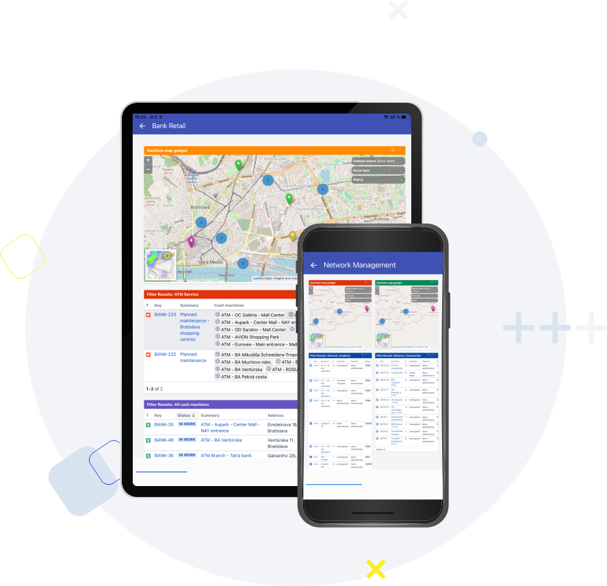
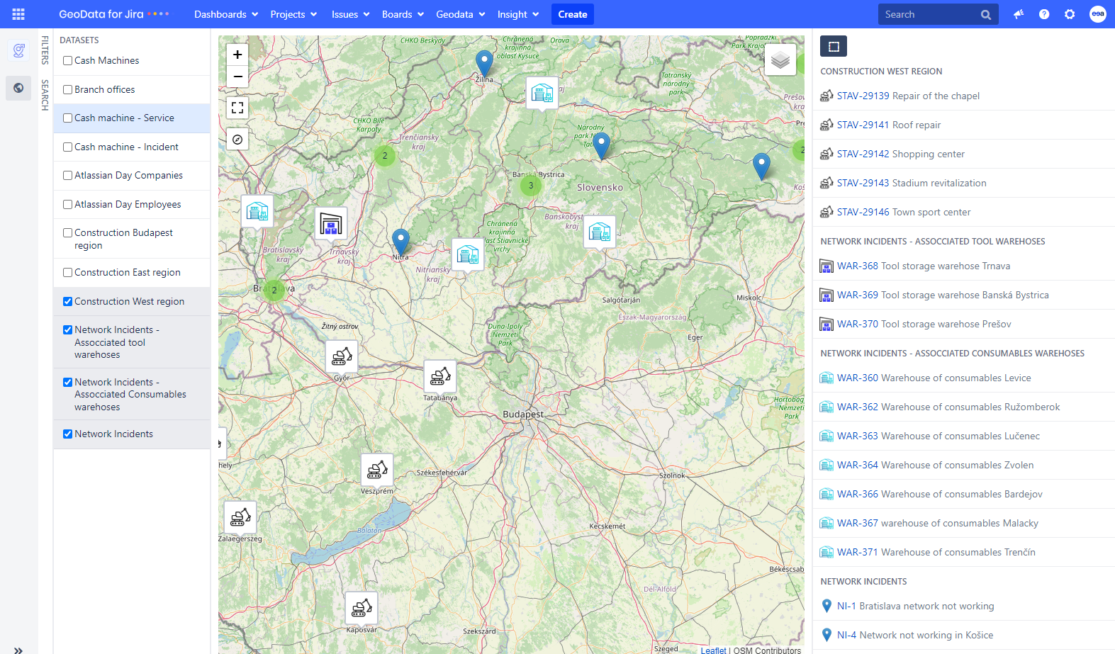
GeoData for Jira is a powerful tool that allows you to manage Jira issues and Insight objects on a map with GPS positions. When you see your data on the map, you can gain a clearer understanding of everything. With an immediate overview of which areas are the busiest, it becomes easier to plan trips for employees and make strategic decisions that are much more effective.
Furthermore, you can find geographical connections between various problems and tasks, which can lead to better solutions. Through data visualization, valuable resources and time can also be saved within the company.
Geodata for Jira blog – Maximizing Jira Efficiency: Location Mapping for Task and Assets
Geodata for Jira blog – A different view of data. Customer experience with Geodata for Jira

 GeoData for Jira


